Threat Level Red
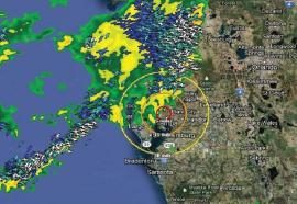
Integrating weather and GIS data for more accurate threat assessments.
Weather and GIS are being combined in new ways to provide better storm threat assessments - helping utilities create increasingly effective battle plans to defend against approaching storms.


